|
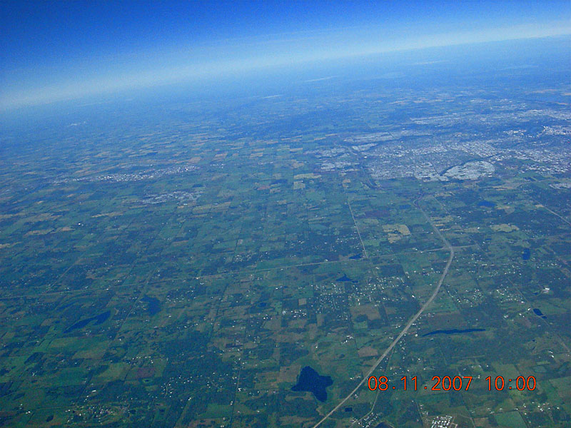
Cooking Lake Airport hangars can be seen under the date stamp. Highway 21 runs horizontally across the image, intersecting Highway 14 where it bends. Ellerslie Road can be seen paralleling Highway 14 west of Highway 21. The South-East leg of the Anthony Henday ring road can be seen just south of Millwoods and further south, on the left side of the image, Beaumont, Leduc, Nisku and the Edmonton International Airport can be seen. |
| Back to SABLE-3 Main Page Payload Photo's |
Next Image |