|
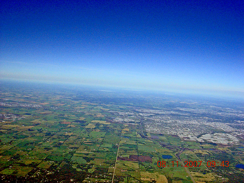
An excellent shot of Highway 14 and the intersection of the Anthony Henday, just above the time stamp. Ellerslie Road is dead center at the bottom, and Millwoods fills the right side of the screen. |
| Back to SABLE-3 Main Page Payload Photo's |
Next Image |