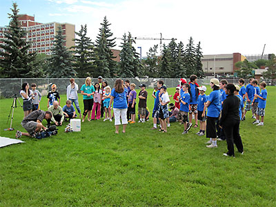
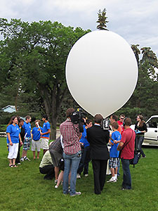
BEAR-8 - July 15th, 2010This was the second of two University of Alberta (UofA) ISSET balloon flights for their 'Space Academy Camp' with grade 7-9 students. There had been thunder storms and rain for several days, but the weather cleared and was as nice as is was for the first flight (BEAR-7), at least until later in the day when no one cared and the storms returned.
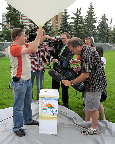
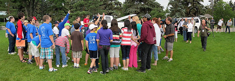
Many faculty and media were also present for the students activities and |
|
|
 |
 |
|
|
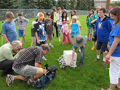
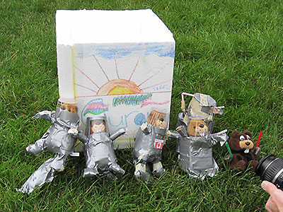
Right - Garrett tried to avoid the media, but found himself explaining how the payload was tracked and recovered. The capsule with it's space explorers was simply added on top of the capsule used for the first flight to save having to reinstall the tracker and cameras in a different capsule. |
 |
|
|
|
||
 |
||
|
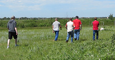
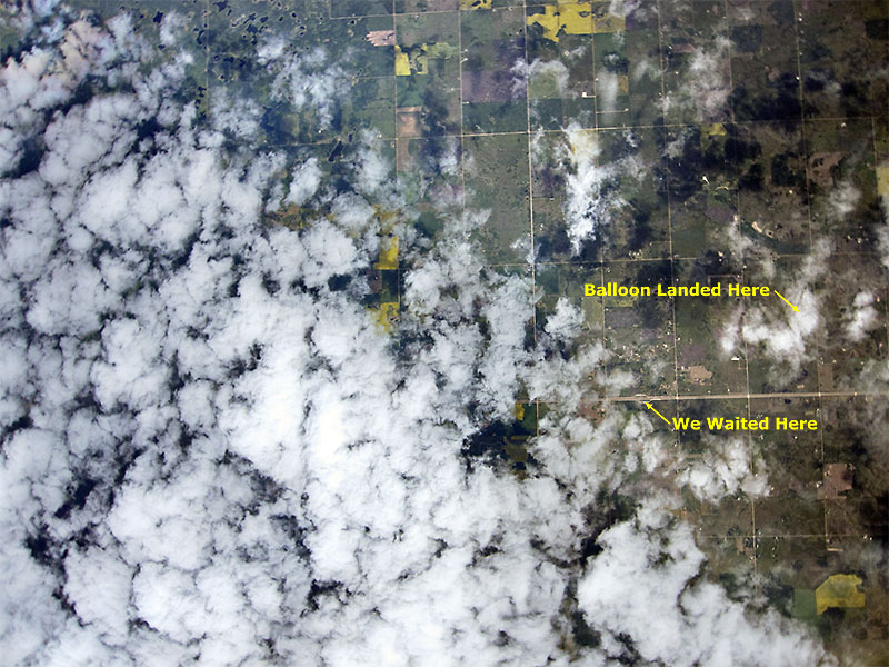
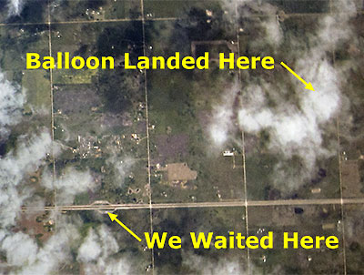
Click on the Map for a larger Image or download this BEAR-8.kml file to view the flight path in Google Earth. As predicted, the balloon headed east, followed highway 16 for the later part of the flight and landed just north of the highway, ≈ 2 miles from where we stopped to wait for it to burst. As usual, we spent time watching the balloon while waiting and this time James got lucky and even saw the balloon burst while using binoculars. But most amazing was that he was not only able to see the balloon burst in much greater detail then usual, but also see the payload as it fell at ≈125 mph before it was eventually obscured by clouds. Now we have one more thing to add to our list of things to bring with when tracking and recovering payloads - a camera with a large lens or attached to a telescope. |
||
 |
 |
|
|
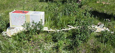
The single payload box without a parachute worked ok on the first flight, but adding a second box on top wasn't the best idea as the extra weight caused the lower box to be damaged and the cameras to break loose and bounce about in the box upon landing. The cameras are ok, although the impact caused one to turn itself off and the data on the SD cards in both cameras to become corrupted so only the first several hundred images on each card could be recovered, however we're hoping Garrett with his computer skills will still be able to recover them all eventually. Following are a few of the images captured every 10 sec's by the 2 cameras, one viewing the horizon and the other straight down. |
||
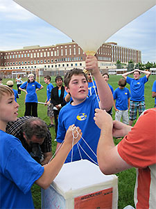
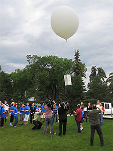
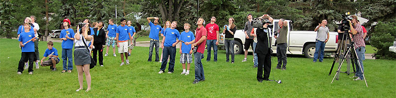
 One student learned it takes a firm grip to hold on to a balloon with
6 lbs. of lift as others prepare for the launch and after a short count down the balloon was released and on it's way.
One student learned it takes a firm grip to hold on to a balloon with
6 lbs. of lift as others prepare for the launch and after a short count down the balloon was released and on it's way.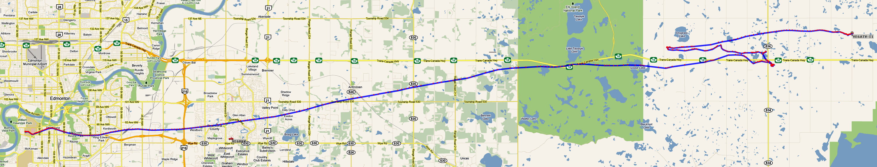
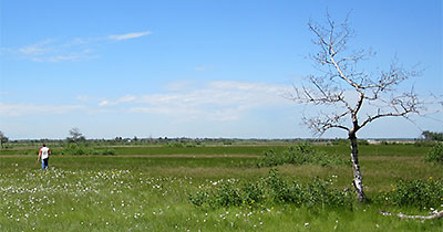
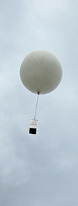
 As we drove to where the payload would land we watched it descend the last few thousand feet and land in a pasture 500m from the road sec's before we stopped.
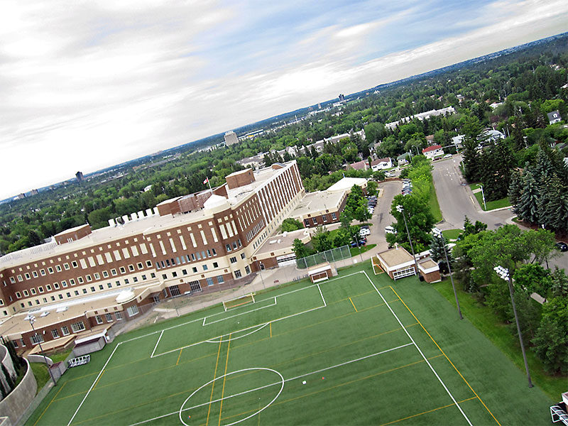 001h |
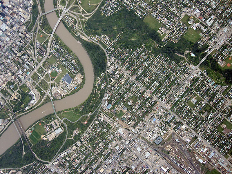
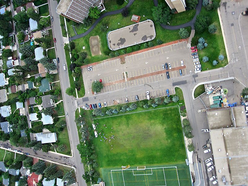 004v - Launch Site (Top Left corner of green playing field) |
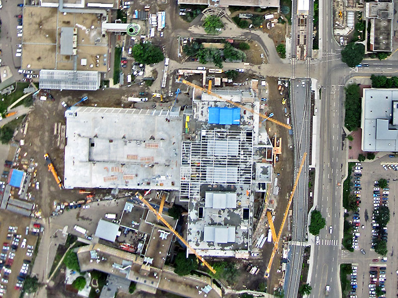 010v - Cropped image to better show construction cranes we had to clear. |
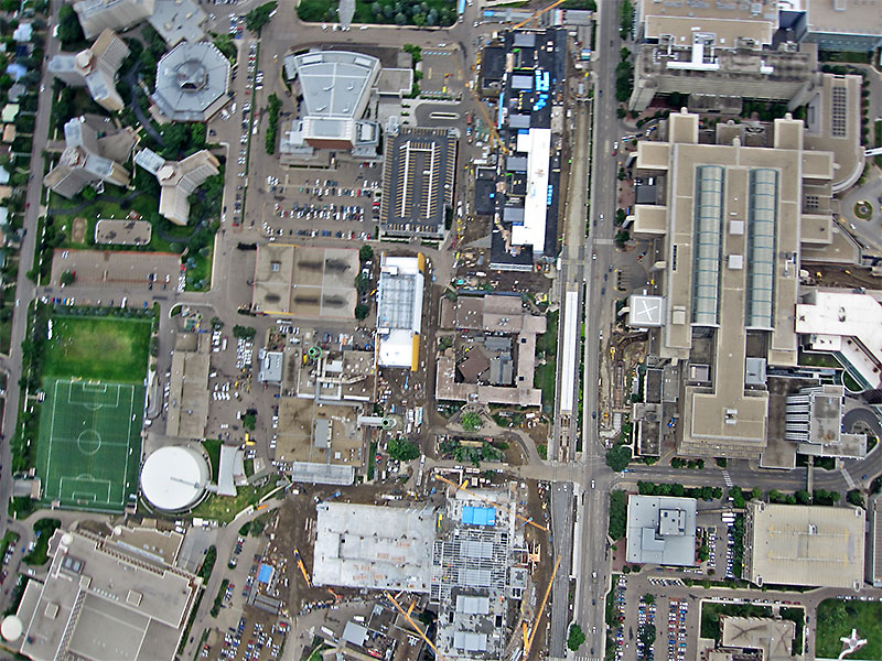 011v - Launch site and buildings to the East |
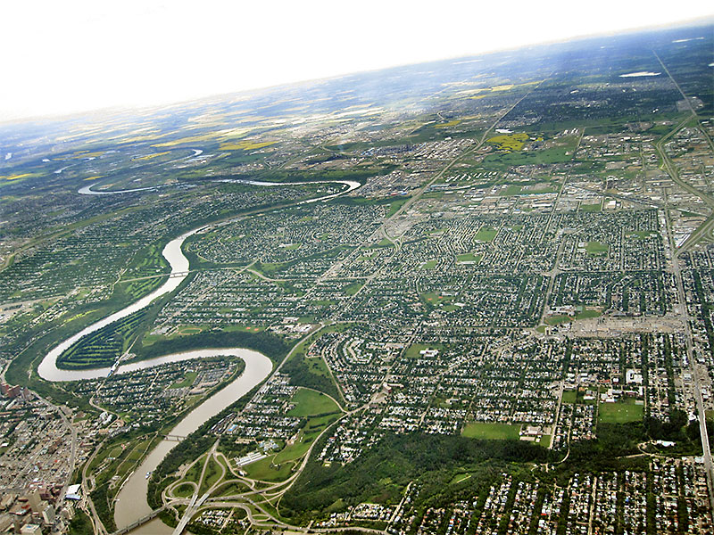
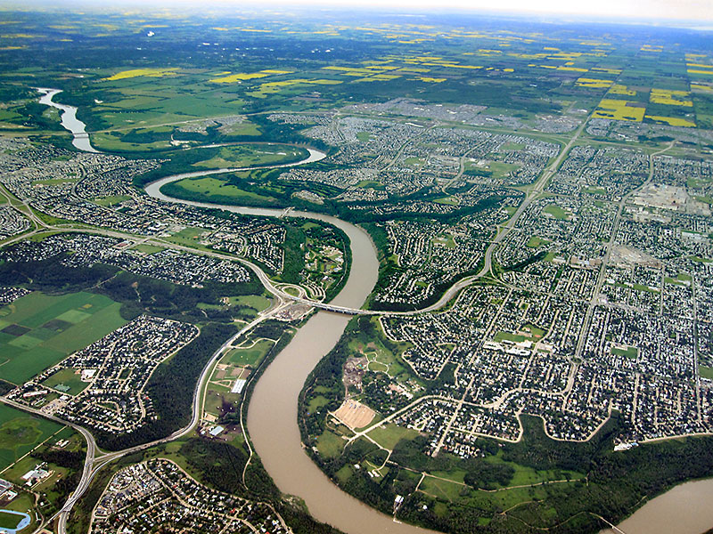
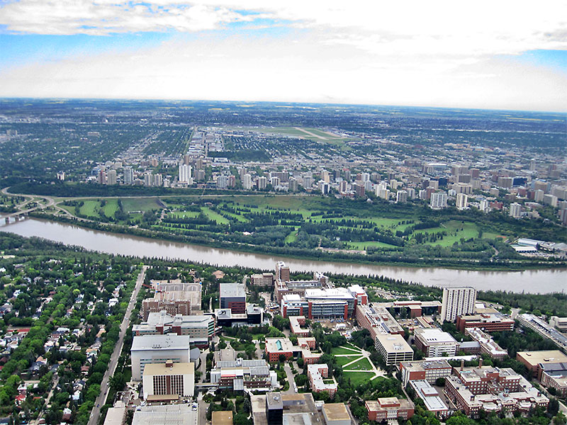 006h - North View across river to River Road & Victoria Golf Club. |
 009h - NNE View with City Center and LRT & High Level Bridges |
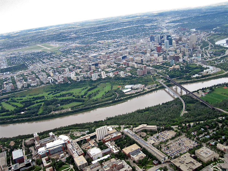
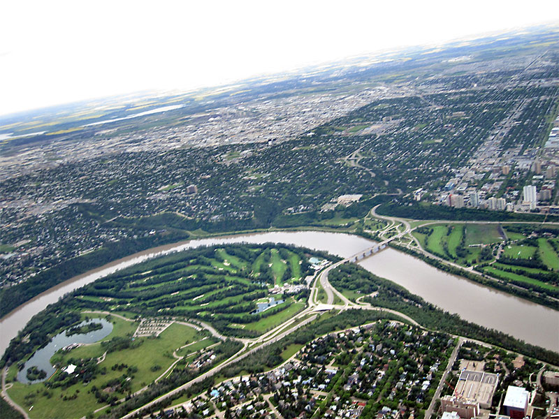 013h - NW View with Groat Bridge and Hawrelak Park |
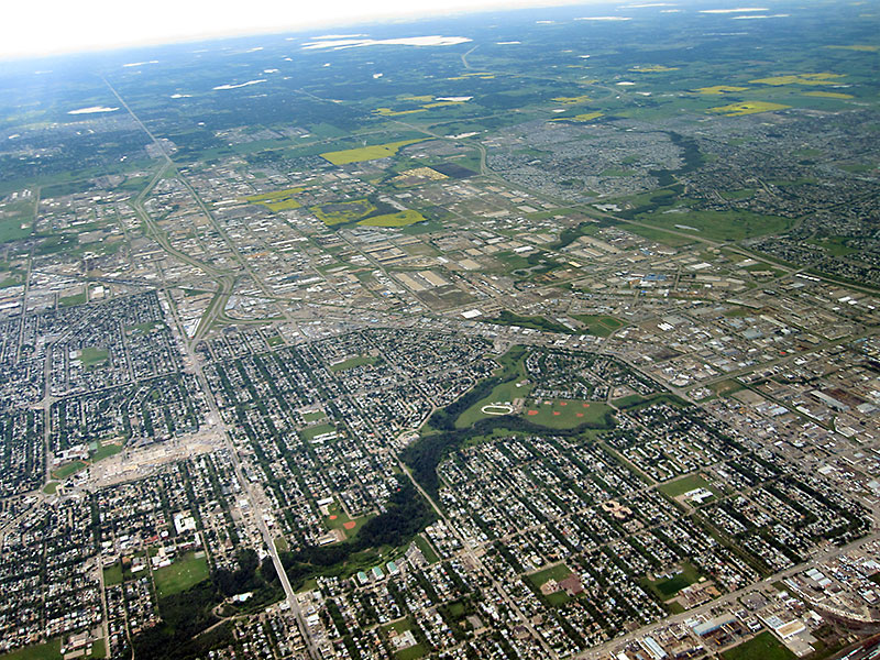
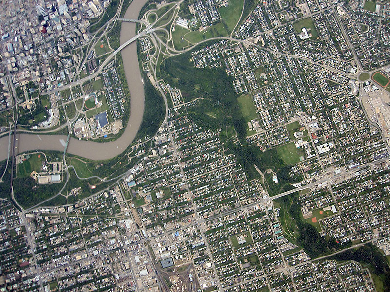
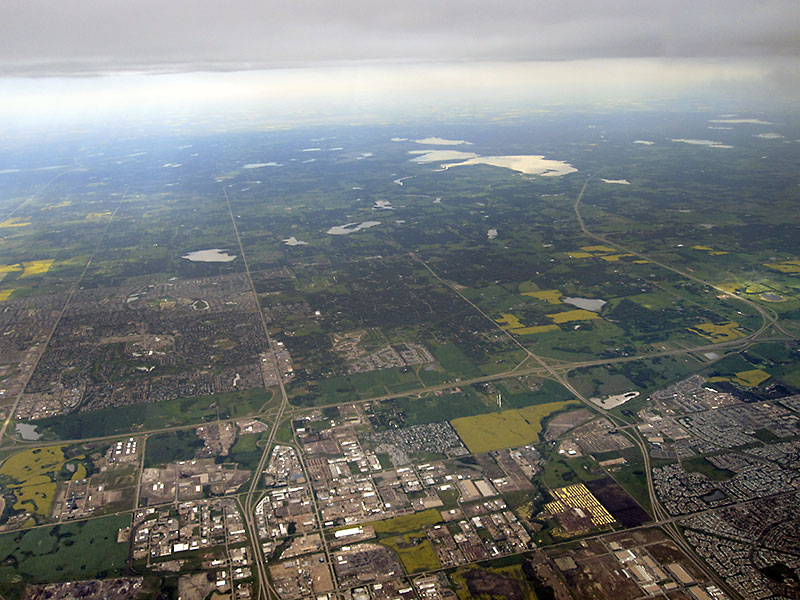
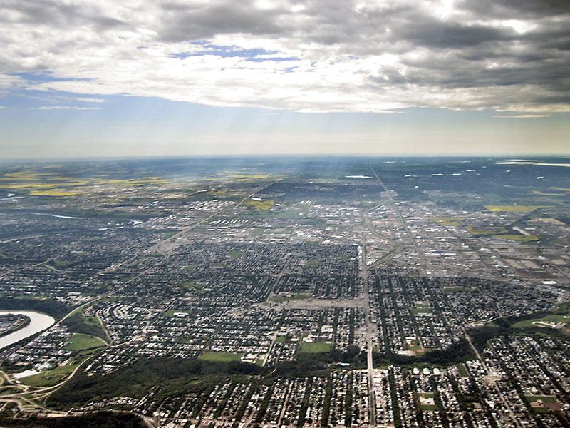 020h - East to Sherwood Park between Base Line Road & Sh.Park Freeway |
 027h - ENE |
 029h - WSW and Whitemud Drive, Quesnell Bridge & Fort Edmonton Park |
 030h - ESE |
 031h - SE |
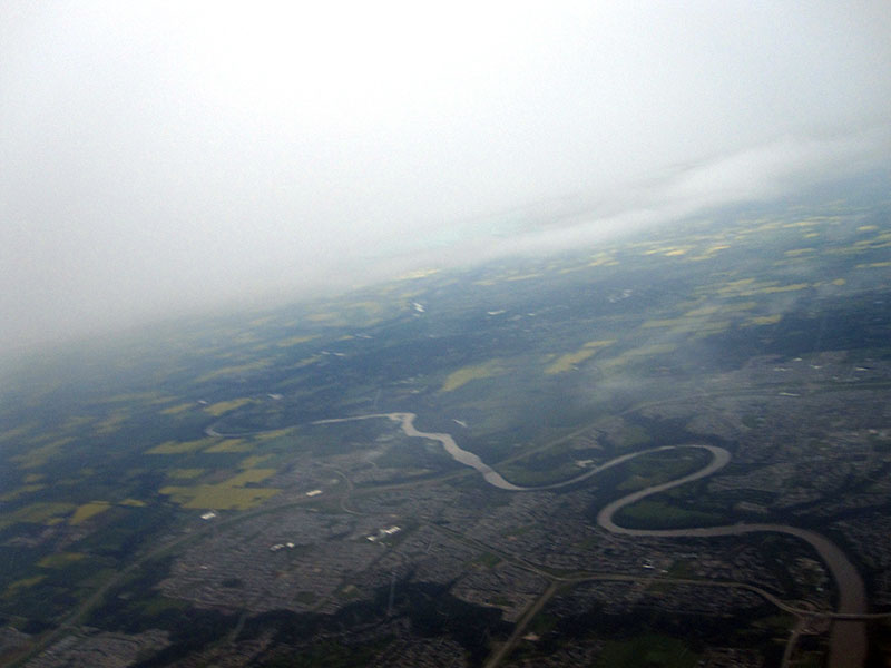
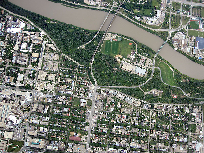 031v - Kinsmen Field Centre with LRT, High Level and Walterdale Bridges |
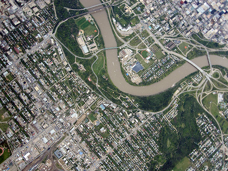 047v - Like 031v incl James MacDonald and Low Level Bridges |
 050v |
 056v |
 044h - ESE |
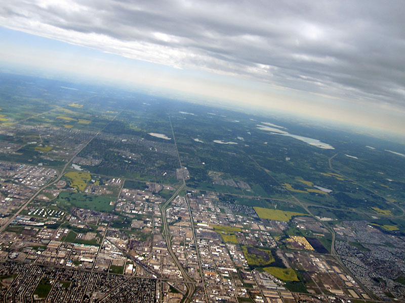
 054h - NNE with CFB Edmonton and Manning Drive |
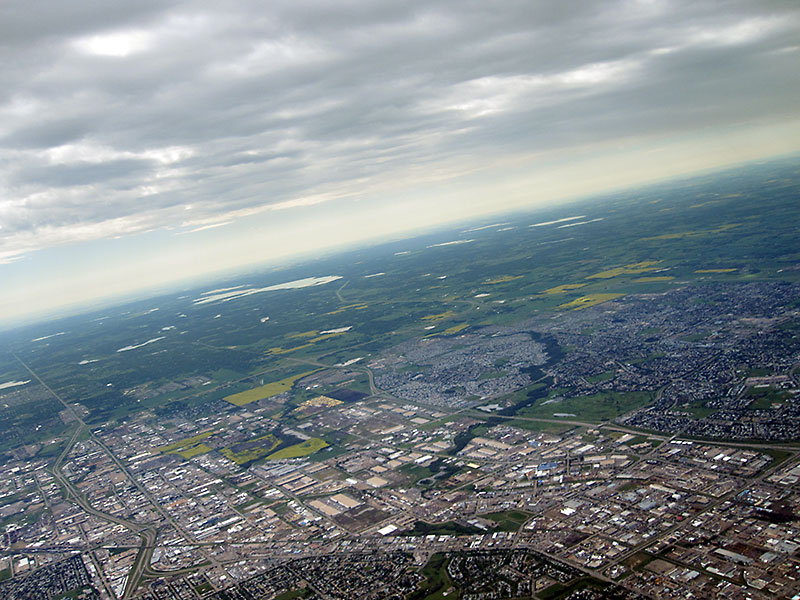
 059h - ESE with Sherwood Park along left side sec's before entering clouds. |
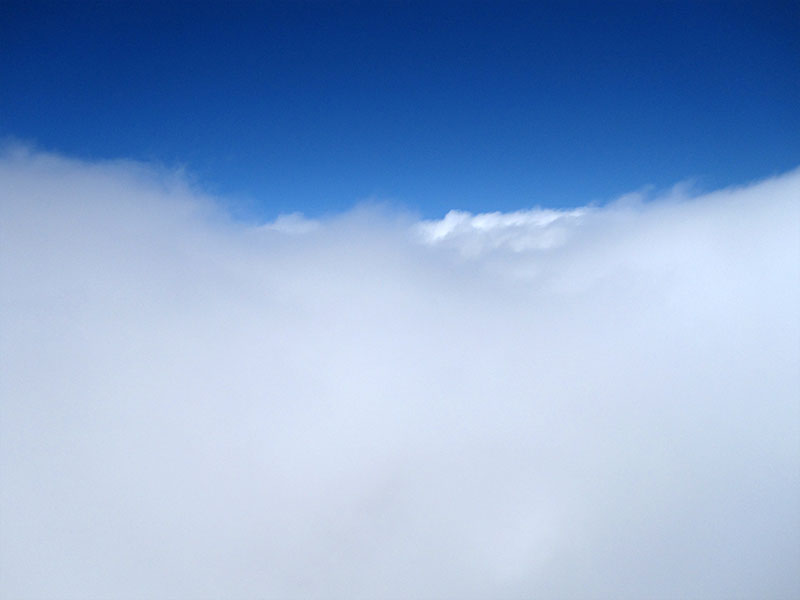
 060h - Clouds are encountered at 11,960 ft. AGL (Above Ground Level) |
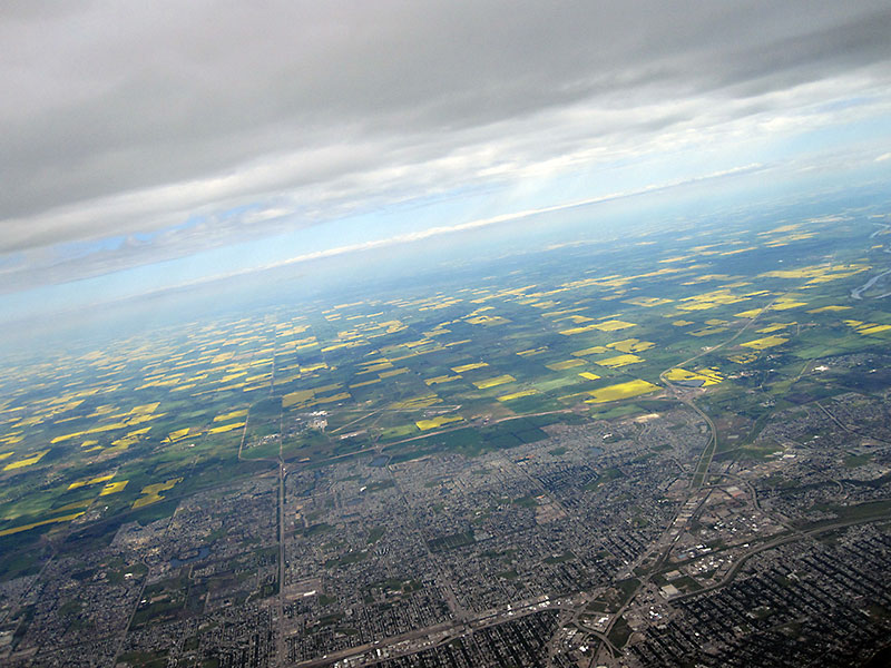
 077h - Clouds continue until 16,000 ft. AGL |
 083h |
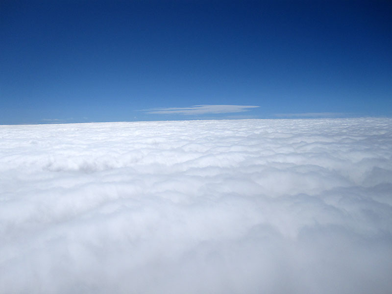
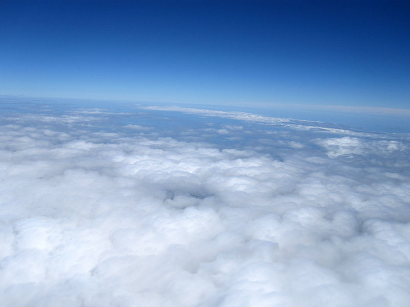 106h - 21,580 ft. AGL and looking eastward the sky is clear of clouds |
 396v - In this image, we are watching from ≈53,000 ft. below. |
|
Image 396v is one of the few later images with some ground detail and third last before the rest were lost. Hopefully the lost images can be recovered as one can see from the image that the edge of the cloud bank had been reached and the image above of us walking to recover the payload shows that the sky was clear later on and during the descent. Left - A small cropped portion of image 396v shows where we were waiting for the balloon to burst and where it landed. (Balloon burst 39 min's later at 91,952 ft.) (With a better lens and more pixels would could have actually seen us waiting.) Image 010v is also a cropped image to better show the construction cranes seen, bottom center, in image 011v that also shows the launch site with our vehicles and everyone in the upper left corner of the green playing field. The close proximity of the cranes on a multi-story building is why we decided to go with a high ascent rate for BEAR 7 & 8 (besides the fact that we didn't want to drive very far to recover the payloads). Image 029h not only shows the Whitemud Drive, Quesnell Bridge and Fort Edmonton Park near the center, but also Story Land Valley Zoo, Anthony Henday Drive with its bridge and many other well known areas. More images and video news coverage of the BEAR-7 & 8 balloon flights with the UofA ISSET Space Academy program can be found on the ISSET web site under Outreach Programs / ISSET Space Academy. Some additional flight data: Average Ascent Rate was 1280 ft./min. and Average Descent Rate below 10K ft. was 2926 fpm (33 mph). |
|||
| To BEAR Home Page |